|
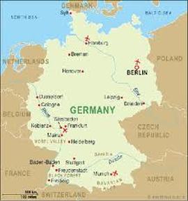
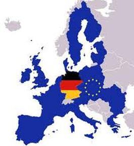
Continent- Europe
Boundaries -Austria 784 km -Belguim 167 km -Czech Republic 815 km -Denmark 68 km -France 451 km -Luxembourg 138 km -Netherlands 577 km -Poland 456 km -Switzerland km Total - 3,790 km Total Area- 357,022 sq. km Land Area- 348,672 sq. km Water Area- 8,350 sq. km Coastline- 2,389 km with the Baltic Sea and the North Sea Lowest Point- Neuendorf bei Wilster-3.5m Highest Point- Zugspitze-2,963m Terrain- Lwlands in north, uplands in center, Bavarian Alps in south Cliamte- Temperate and marine; cool, cloudy, wet winters and summers; occasional war mountain winds State Comparison- Slightly smaller than Montana |
|
